

Bengaluru-based deeptech startup GalaxEye is set to revolutionise Earth observation.
Previously, most Earth observation companies built single-sensor satellites — hyper-spectral cameras, radars, or infrared systems. However, this approach had limitations. Though optical sensors deliver easily interpretable imagery on sunny days, their visibility is limited at night and under cloudy conditions.
And while radar works well even under dark, cloudy conditions, its raw data requires expert interpretation to understand. Thus, users never received consistent, reliable data across all conditions.
GalaxEye is building a multi-sensor satellite that fuses optical cameras with radar capabilities. This allows for reliable imagery to be obtained, all round the clock.
Additionally, GalaxEye uses AI to make radar data visually interpretable, thereby bridging the usability gap.
“This makes imagery more consistent and available round the clock,” said GalaxEye Co- founder, Suyash Singh. “At the same time, I wouldn’t say it’s easy to implement. There are some nuances in the technology.”
The company has an ambitious dream: to make Earth observation as reliable and indispensable as Global Positioning System (GPS).
“If I told you your GPS would only work on clear days, but not when it’s cloudy, it would sound ridiculous! Unfortunately, that’s what happens with satellite imagery all the time. If we can fix this availability problem, and provide consistent satellite imagery regardless of circumstances, we will be able to build the Ubers and Olas of tomorrow,” added Singh.
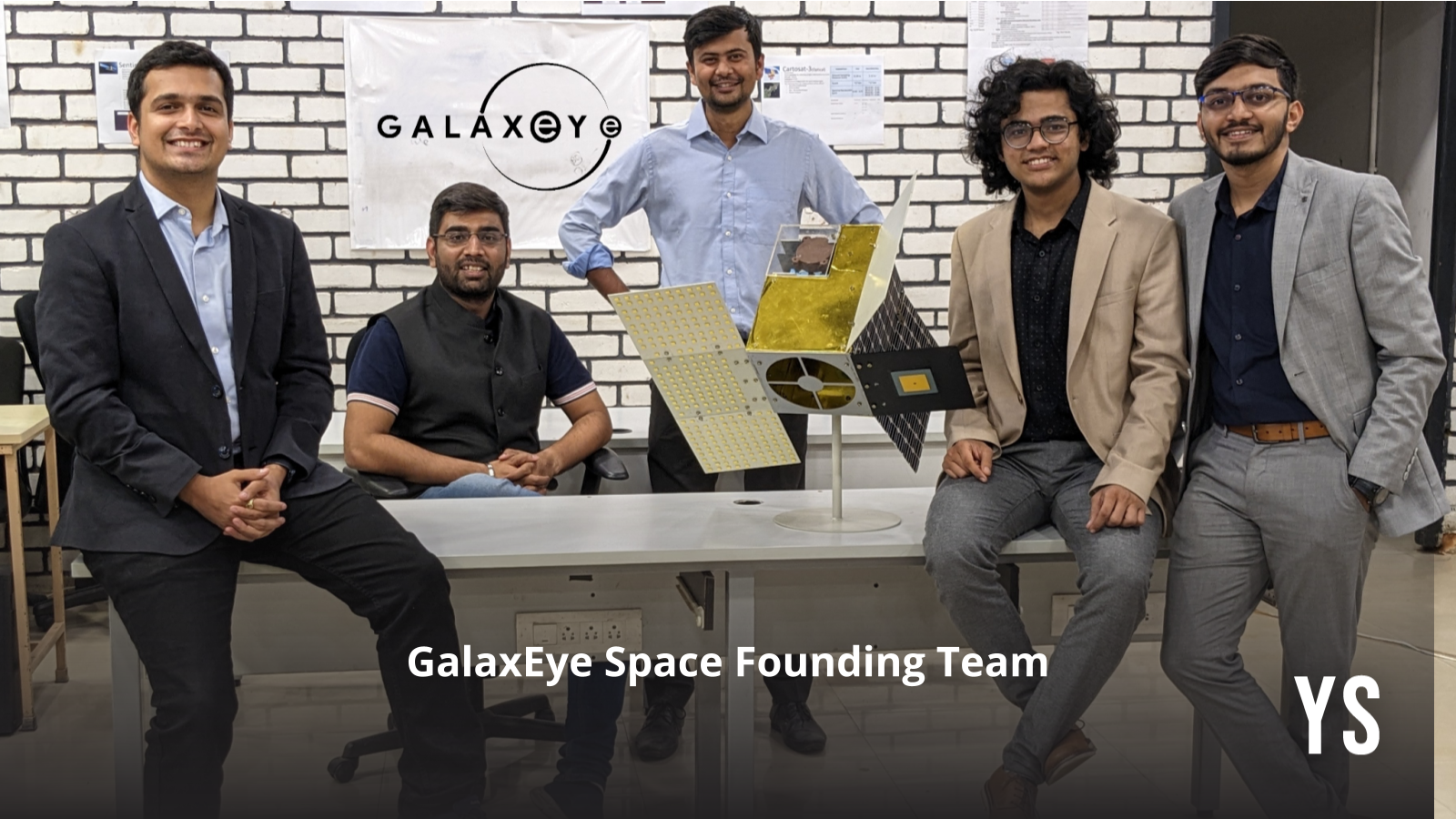
Founded in 2021, GalaxEye was established by a group of members—Singh, Denil Chawda, Kishan Thakkar, Pranit Mehta, and Rakshit Bhatt—who emerged from Avishkar Hyperloop, a global competition organised by Elon Musk’s aerospace company SpaceX.
Earth observation uses satellites to capture images and data about the Earth’s surface, atmosphere, and oceans, while GPS provides location and navigation services using satellite signals. Earth observation tracks climate, supports disaster response, agriculture, urban planning, resource monitoring, and defence. GPS powers navigation, logistics, precision farming, disaster relief, military operations, and time synchronisation.
Building the technology
Since optical sensors are passive and dependent on sunlight, they need to be synchronised with radar sensors, which can actively generate and receive signals. Furthermore, mechanical synchronisation had to be achieved so that the timing of imaging was the same across sensors.
“We did huge research and development for the last four years,” remarked Singh.
After testing approaches with drones and aircraft, GalaxEye is preparing to launch its first satellite, Drishti, within the next three to five months.
“When we first started, most of the thoughts were to build a satellite, then send it to space, learn from it, and then reiterate,” said Singh.
The project, however, took a much different and difficult path. The team miniaturised critical satellite components and tested them rigorously on drones, flying them at altitudes from 200 meters to several kilometres. They also developed their own antennas, RF modules, embedded systems, and optical cameras.
However, there was a downside to this approach.
“We missed out on space testing, since the drones flew in air,” remarked Singh. “However, ISRO gave us a very nice opportunity.”
ISRO and IN-SPACe offered GalaxEye the chance to test critical payload components in orbit. This experimental mission operated in one of the harshest regions of space—sometimes called the “Bermuda Triangle of Space.”
“It’s one of the most difficult regions in space to navigate — as it’s super cold, and even operating a satellite there is tricky,” recalled Singh.
Nevertheless, the mission succeeded.
GalaxEye’s first full satellite, Mission Drishti, will provide imagery of any point on Earth every 7–10 days.
The next step? Scaling up to a constellation of 8–10 satellites, which will further reduce revisit time to daily coverage. Also, their second satellite is planned to offer even higher resolution than their current version – which already offers the highest resolution of any satellite in India.
Collaborations and applications
GalaxEye isn’t building this vision alone. Its critical partnerships include Anant Technologies, which provides integral manufacturing support for the Drishti satellite; Leaf Space, a global ground station aggregator; Infosys, an investor and potential co-builder of vertical AI solutions; and SpaceX, a future launch partner for scaling the constellation.
The company plans to launch an Early Adopter Program, offering 20–25 global organisations access to this unique multi-sensor dataset—the first of its kind in the world.
“Earth observation data is more industry agnostic as of now — but industries that are more time-critical will need this,” commented Singh, expecting strong traction from the defence sector, insurance companies that underwrite disaster, disaster management, utilities, and more.
Delivery will be API-driven and platform-based, with GalaxEye focusing on the data layer while co-building analytics with domain partners.
“Our strategy is to co-build rather than just do it ourselves,” added Singh, emphasising GalaxEye’s collaborative approach to building solutions.
Advice for startups
“Take small steps. Don’t try to boil the ocean on day one. Build proof, then scale. Even one satellite can deliver immense value if it consistently provides the right imagery,” advised Singh, for future deeptech founders.
As GalaxEye prepares for its first satellite launch, it’s already positioning itself as a change-maker in Earth observation—a startup from India setting global benchmarks in satellite technology.
“We’re bringing in the next generation of Earth observation,” remarked Singh confidently. “We’re bringing GPS-like moment into this industry. If not for this, we would have very limited users, use-cases, and customers to serve. So, I think we’re bringing in that kind of generational change.”